The 2012 routes are the same as the 2011 routes EXCEPT the ride stop in Carson is now Ross Gold Park at 280 Appion Way and there is a small re-route through the south end of Carson. Cue sheets and map are available for download.
Wow, the elevations on the 50 and 100 mile routes are significant…really significant. If you rode last year you already know this. The 50-mile has almost 2800’ vertical elevation. We’ll admit, that surprised even us! We did expect serious elevation on the 100 miler and we were right; almost 6600’ vertical. After all, you do climb Kingsbury Grade!
These are challenging routes, but that’s ok because Rotary is all about challenges. (Rotary set out to eradicate polio worldwide and we’re almost there.)
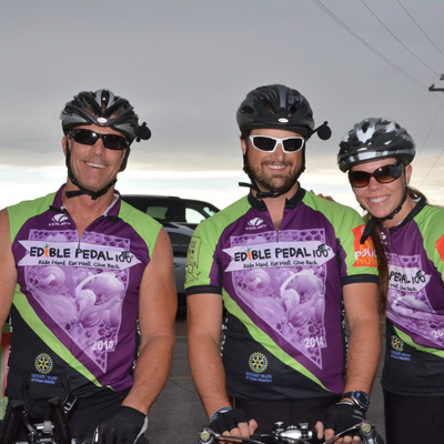
Those of you who rode an organized ride for the first time last year, congratulations! We’re impressed and proud of you. For those who are riding with us for the first or second time, we know you’ll be challenged and successful. There will be plenty of refueling and hydration options, and look for our moto marshals and SAG vehicles. Don’t worry: if you need some help along the way, we’ll be there!
10 mile
Total mileage: 10.62 miles
Elevation gain: 354’
Water stop on Franktown Road
50 mile
Total mileage: 54.78 miles
Elevation gain: 2,796’
Three Ride Stops:
- Ross Gold Park, Carson City (out and back)
- Trimmer Outpost, Genoa
100 mile
Total mileage: 101.90 miles
Elevation gain: 8,470’
Ride with GPS Route
Five Ride stops:
- Ross Gold Park, Carson City (out and back)
- Trimmer Outpost, Genoa
- Eastern Sierra Feed, Gardnerville
- Kingsbury Grade
- Spooner Summit
*All mileage and elevation numbers are pretty accurate but still considered approximations and may vary depending on mapping systems, GPS units, cloud cover and color of bike.
EP100 2012 Ride Route Map – Download PDF
EP100 10 Mile Cue Sheet – Download Excel File